
Scalebarrow Knott
Height 1109 feet/338metres
Grid Reference NY 519 152
Area
Birkett - Eastern Fells, Branstree Group - Top No. 504
Wainwright - The Outlying Fells
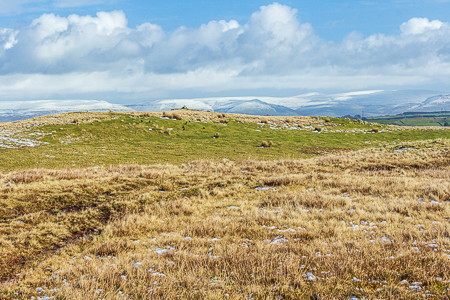
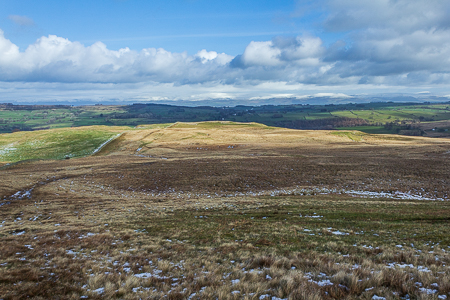
Approaching Scalebarrow Knott.
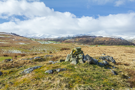
Scalebarrow Knotts summit cairn with a snow capped High Street.
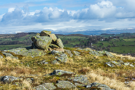
The Pennines from Scalebarrow Knott's summit cairn.
Scalebarrow Knott from Harper Hills.
Naddle Bridge - Naddle Farm - Scalebarrow Knott (402) - Harper Hills (403) - Powley's Hill (404) - Hare Shaw (405) - Naddle High Forest (406) - Wallow Crag (407) - Hugh's Laithes Pike (OF) - Naddle Low Forest - Naddle Farm - Naddle Bridge
All pictures copyright © Peak Walker 2021
©Crown copyright. All rights reserved. Licence number 100045184.